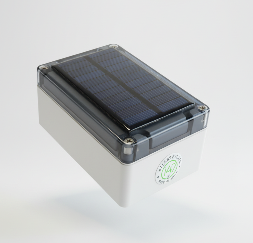
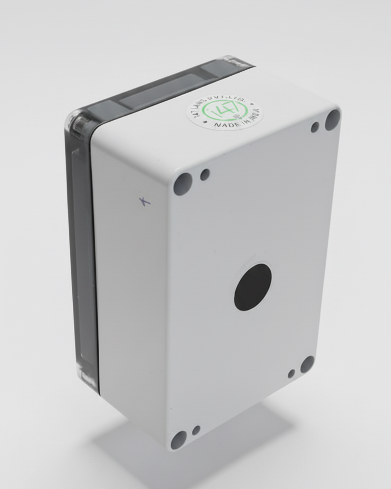
Water Level Monitoring Device
This intelligent device is designed for high-precision, real-time, and remote measurement of water levels in various applications such as tanks, reservoirs, wells, and open channels. It utilizes a Time-of-Flight (ToF) sensor for accurate ranging, coupled with robust data processing logic and GSM technology for cloud-based data transmission.
1. Key Features
- High-Accuracy Ranging: Employs the LiDAR sensor for non-contact, time-of-flight based distance measurement, providing superior accuracy compared to traditional ultrasonic or float sensors.
- Intelligent Data Filtering: Features a sophisticated measurement routine where 10 readings are taken over a 5-minute interval, followed by an averaging process to filter out momentary disturbances (e.g., surface ripples, minor turbulence) for reliable data.
- Change Detection: Compares the current averaged reading against the last transmitted reading to efficiently detect significant water level changes.
- Remote Data Transmission: Integrated GSM module enables seamless, wireless transmission of filtered water level data to a remote cloud server.
- Wide Application Range: Suitable for deployment in diverse environments, including industrial monitoring, environmental studies, and smart agriculture.
2. Operation Flow
The system operates on a precise, scheduled routine every 5 minutes:
-
Reading Burst: The microcontroller triggers the LiDAR sensor to take 10 consecutive distance readings from the water surface.
-
Data Averaging: The 10 readings are processed, and their average value is calculated to minimize noise caused by ripples.
-
Level Calculation: The averaged distance is subtracted from the known sensor mounting height to determine the water level.
-
Change Check: The current averaged level is compared against the last transmitted value.
-
Data Transmission:
- If the difference exceeds a predefined threshold, the GSM module transmits the new water level to the cloud.
-
Sleep Mode: The system returns to low-power sleep until the next 5-minute cycle begins.
3. Installation Guidelines
- Vertical Alignment: Install the LiDAR sensor perpendicularly (straight down) onto the water surface for maximum accuracy.
- Stability: Ensure the mounting structure is rigid and free from vibrations that could affect ToF readings.
- Obstruction-Free Path: Keep the laser path clear of obstacles, mist, or fog that could scatter the laser signal and reduce accuracy.